GEOSPATIAL DATA ANALYTICS AND MANAGEMENT
Services
We specialize in the science of analyzing spatial and non spatial data in order to derive information and insights that can be used to improve your business. We employ mass and electronic data collection techniques to capture information, we analyze and manipulate to detect trends, patterns and metrics that would otherwise be lost in the mass of information, and we store, manage and present data as maps, charts and tables for engineers, researchers, scientist and other businesses.

Business and research support
GeoDAM develops the protocols to collect, store and analyze data produced by your business. It further applies the right analytical tools and techniques to your data to derive new insights to your business operations and to serve as decision support to your management.

Geo-Analytics
GeoDAM collects geospatial information for its team of experts who conduct varied analysis by employing geographical information systems (GIS) and other machine learning technology to support design, planning and optimization in agriculture, energy planning, telecommunication, transportation, natural resource management, real estate and lease property management, urban planning, environmental impact assessment, land administration, public health and banking among others.

Engineering
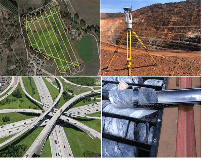
GeoDAM uses the latest technology to achieve high precision and cost effective solutions that keep field crew safe on your project. We use mass data collection techniques such as Unmanned Aerial Vehicle (UAV) photogrammetry and LIDAR together with our data management system to produce maps and 3D models to meet civil engineering, exploration, mining and surveying demands. We design and construct structures and probe the earth for metals and minerals.
we bring business intelligence to you
Strategic Partners

ST VITUS TECHNICAL INSTITUTE

GRAMYK GUEST HOUSE

ICT Consultancy

ST VITUS
ORGANIZATIONAL DEVELOPMENT
